Seaham Beach in Clear Water Seaham is on the North East Coast of England in County Durham. A place formerly of heavy industry, manufacture of glass and mining for coal. The beaches along by Seaham is often combed for glass, and is often turned into pendants by jewellery makers.
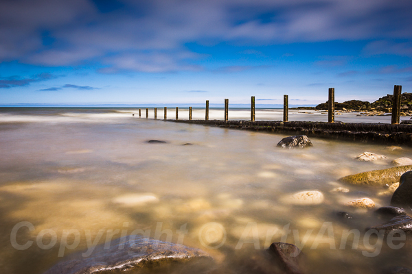
This is the main beach at Seaham which runs from the rocks that separate it from the harbour all the way to the Vane Tempest Beach. This is a 13 second exposure and has softened the clouds and water so that we can still see the rocks just beneath the water with such clarity. The beach used to be blackened by coal. Dawdon and Easington Collieries used to operate by Seaham. With their closures, after surviving the Miner's strike of 1983 - 1984, and the local community have turned the beaches into wonderful place by the sea. Easington was the last pit to close in the Durham coalfield in 1993. Dawdon closed two years earlier in 1991. My local pit Bearpark Colliery closed in 1984 and lot of the miners from the village continued to work at Dawdon. Available as canvas prints and wall art at Photo4me
0 Comments
Seaham SeascapeSeaham is on the North East Coast of England in County Durham. A place formerly of heavy industry, manufacture of glass and mining for coal. The beaches along by Seaham are often combed for glass, and is often turned into pendants by jewellery makers.
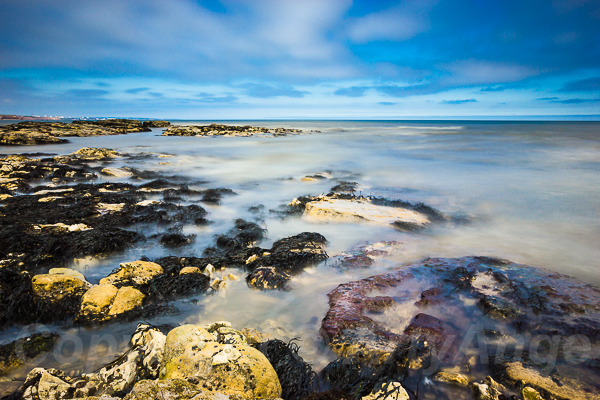
This seascape is just north of Seaham Harbour and on the horizon is Sunderland, a short drive north. This is a long exposure 20 seconds of the incoming tide over the sandstone rocks littered with kelp and barnacles. Available as canvas, prints and wall art at Photo4me 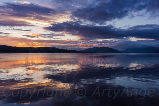 Rothesay Bay at Sunset with clouds that are boiling away over the mountains. The light reflects wonderfully on the water almost mimicking a mirror image. Rothesay has a seal that lives in the bay, and it is known within this community. The Scalspie Bay on the opposite side of the island has a population of around 200 seals. Rothesay Bay has a commanding view back to twords the mountains on the mainland, and is whatever the weather is doing, it is awesome. The Victorians were did very well to exploit this. Available as canvas, prints and phone coses 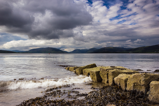 A short walk, across the road from the Bayview Hotel in the bay of Rothesay. This stunning view looking out to the main land Argyll and Cowal peninsular with Loch Striven ahead. The low lying strata kissing the mountains on the mainland. This was a welcome view every moment our stay on this small island. The Firth of Clyde is the estuary which this island sits, and the seas were generally calm. A passing ferry form Wemyss Bay to Rothesay was enough to create a little wake and excitement on the water. Gannets are feature here, the birds would dive bomb the waters and are amazing to watch, distracting me from my photography. Available on canvas, as prints and phone cases 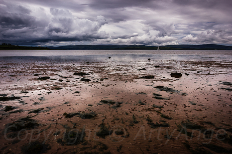 Kilchattan bay lies on the southern end of the Isle of Bute and has distinguishing reds sands and exist due to the geological fault that passes thought Rothesay and down to Scalpsie Bay. Some of the rock formations you see around the southern tip of the island are lava like. the sands are home to abundance of wild life, there are sand worms which we saw a couple fo curlew's feasting as we arrived to the little coastal village. the sharp disappeared as another couple advanced their across the bay. This bay seems so isolated only the storm clouds could enhance its vulnerability. Available 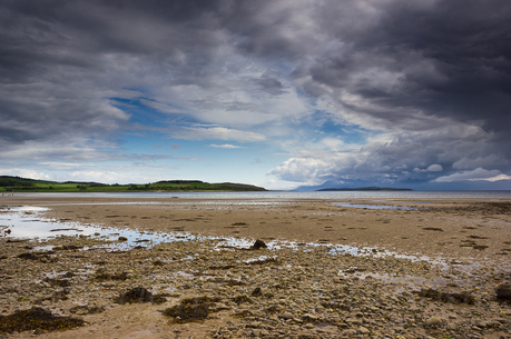 Blue skies opening up at Ettrick Bay on the Isle of Bute, with the mysterious Isle of Arran hidden in the storm clouds. Just in front of the Isle of Arran, there is small islet known as Inchmarnock, named after Queen of the Inch whose bronze age remains were found to the north of isle. Available as canvas, prints and phone cases |
Angie Morton
ArtyAnge Photography showcasing her new works for sale Archives
November 2016
Categories
All
Keep up to date with my new work for sale via email, just click on the link and in the form below
|
 RSS Feed
